Recent searches
Search options
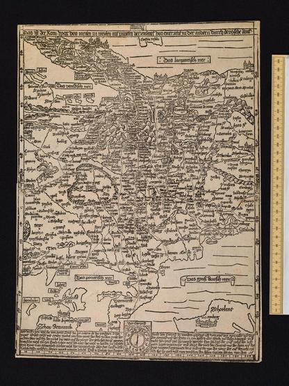
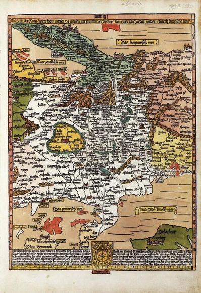
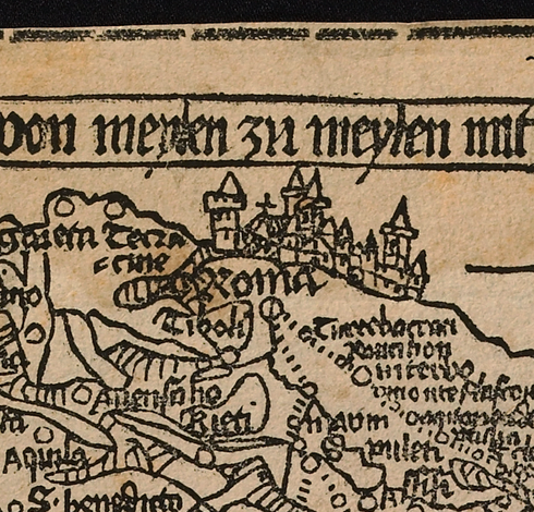
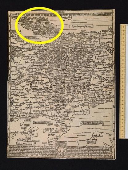
All roads lead to Rome. Meet the earliest known European map with a scale: This woodcut "south up" map by Erhard Etzlaub offers a route to Rome - located on the top of the map - through early modern German speaking Europe. The map was printed as a single-sheet item, and was made in Nuremberg for the Holy Year 1500.
Etzlaub wanted his "Rom-Weg" map to be bought, so he offered colored versions too, like the one you see, because these were more expensive. A thread for #histodons #maphistory
1/4
Produced as a woodcut, i.e. the details cut into a block of wood before printing, the map was always in the same size and format as the very wood block used: 41 x 29 cm in stereographic projection to a scale of about 1:5,600,000.
Have a look at the map yourself: https://digital.bodleian.ox.ac.uk/objects/9a239e34-a3f9-4914-ab93-cc982cb944a0/
The dots used on the map are mile-indicators for actual travelers to Rome - or for travelers of the mind.
#MapHistory #BookHistory #histodons
2/4
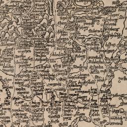
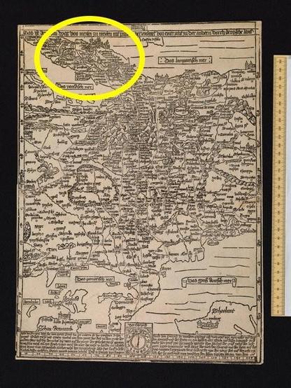
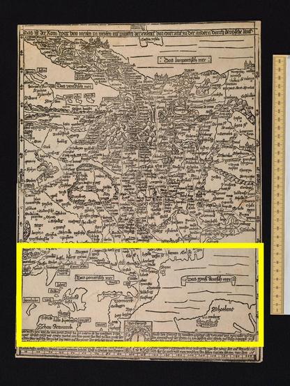
The south-up map with "Roma" on top (left picture) and the German North Sea and the Baltic Sea coasts situated in the lower regions of the map (right picture), do look unfamiliar for nowadays observers.
3/4
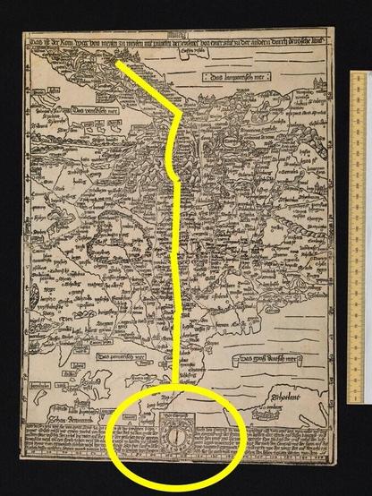
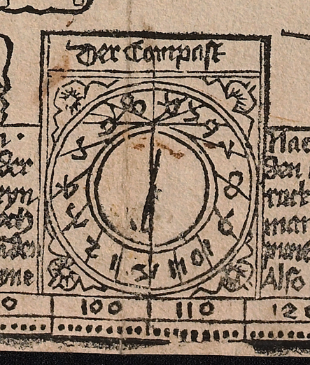
What helps to navigate the route and directions is the provided compass of the map: "Der Compass".
Having a compass built into a navigation device with mile indicators leading to the direction of the trip's goal at the screen's top might be our present solution in cars, but it has roots in the fifteenth-century map making. Enjoy this fact, dear #histodons. #BookHistory #MapHistory
4/4
